01
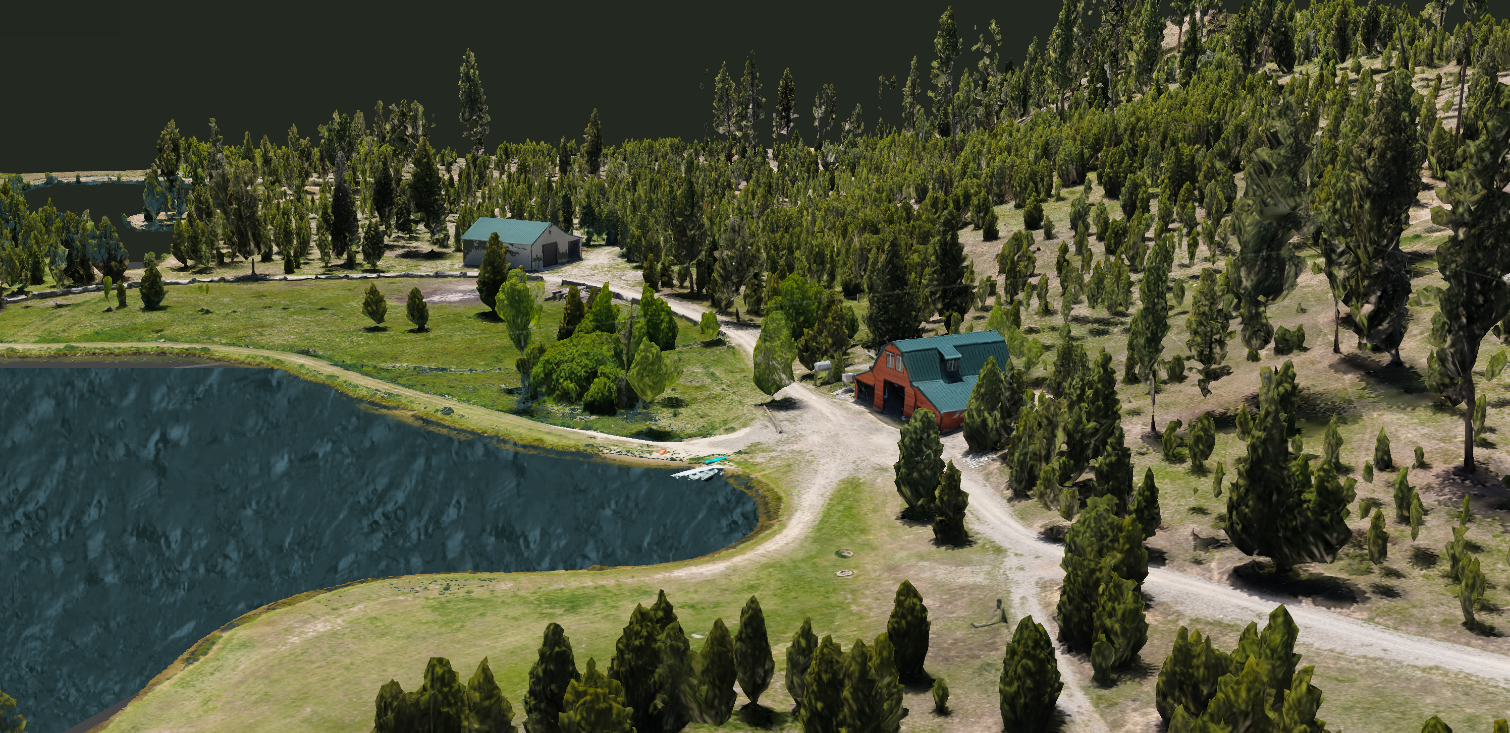
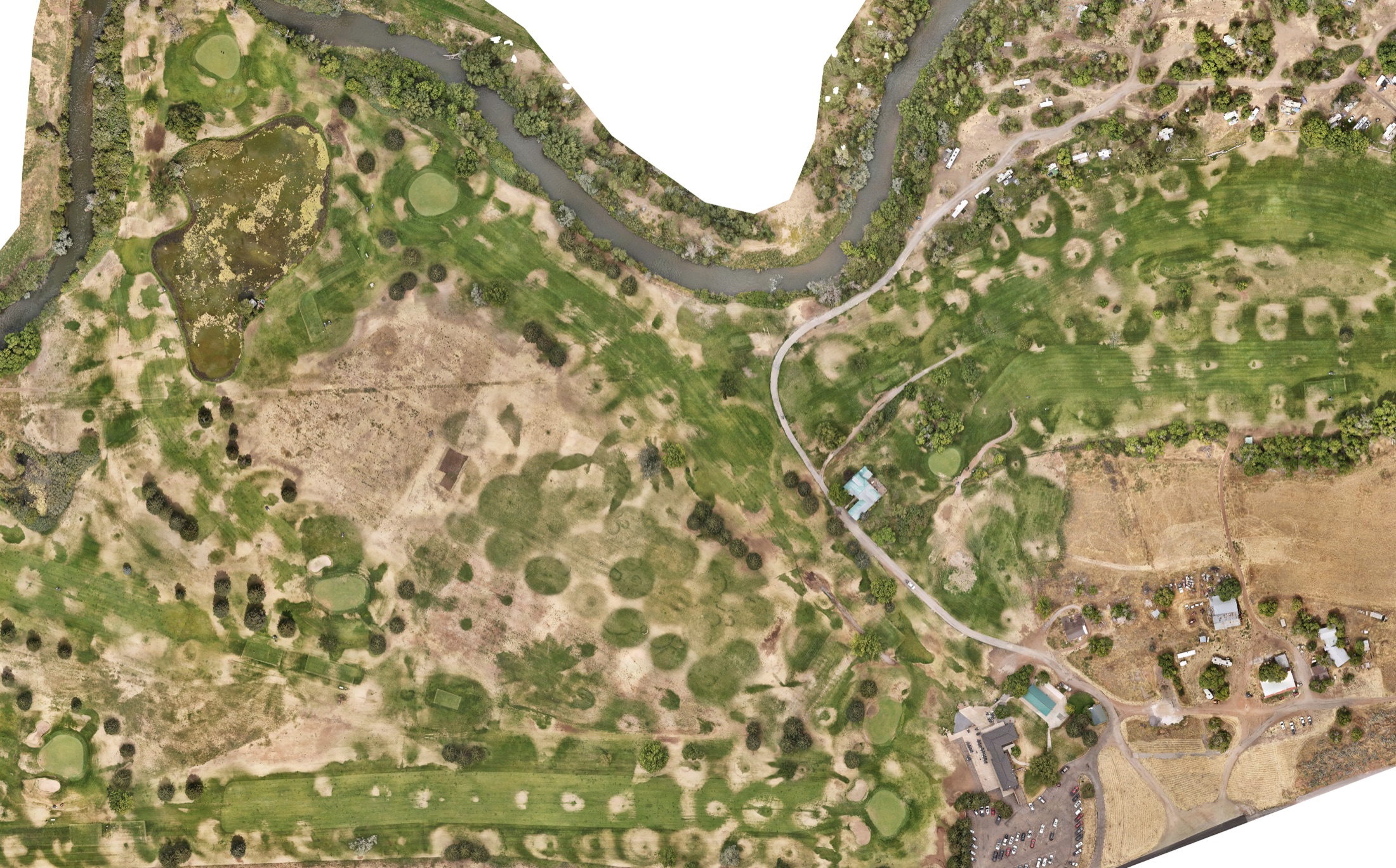
3D Property Modeling & Scanning
Detailed interactive 3D property models created from professional drone scanning and photogrammetry.
- Browser-based interactive models
- Zoom, pan, and orbit controls
- Private shareable links
- High-resolution terrain visualization
- Land listings
- Development, ranch, resort, and large acreage projects